Basic understanding of computer operations.
Attendees will receive a course workbook containing workshop proceedings and reference material.
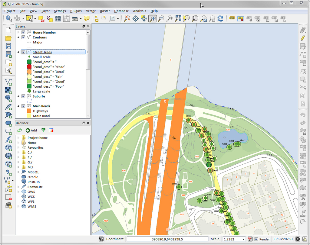
QGIS is emerging as an open source leader for mapping. Learn QGIS and help your office save costs using the free, open source QGIS mapping software. You can install QGIS for free on Windows, Max OS X and Linux. QGIS will allow you to work with ESRI/ArcMap files and read and write ESRI File Gdb's as well as KML/KMZ, and GPX. You can read and write ESRI shapefiles, MapInfo and MicroStation file formats, AutoCAD DXF, PostGIS, SpatiaLite, Oracle Spatial and MSSQL Spatial databases, and many more data formats. This course will get you started with QGIS. QGIS makes GIS software (which is traditionally expensive proprietary software) a viable prospect for anyone with basic access to a personal computer. This 3-day hands-on class introduces participants to environmental applications of QGIS for maps and spatial analyses. The course will start with general concepts and vocabulary to form a comprehensive overview of QGIS functions and uses in the environmental field. Each participant will use their own laptop to create, edit, display and analyze real world environmental data during numerous hands-on exercises. On the third day, participants will have an opportunity to expand their skills by applying their knowledge to more complex and in-depth projects.After completing this course, participants will be able to:
- Apply a conceptual overview of GIS and spatial analysis to environmental data
- Understand and utilize the fundamental capabilities of QGIS
- Conduct overlay analysis
- Create intersects, buffers, unions and clips
- Measure spatial relationships between layers of geographic data
- Generate presentation-quality maps
Continuing Education Units: 2.00 CEUs
This hands-on course is intended for environmental and graphics professionals involved in the collection, interpretation, and presentation of spatially related data and mapping. Previous GIS experience is not required